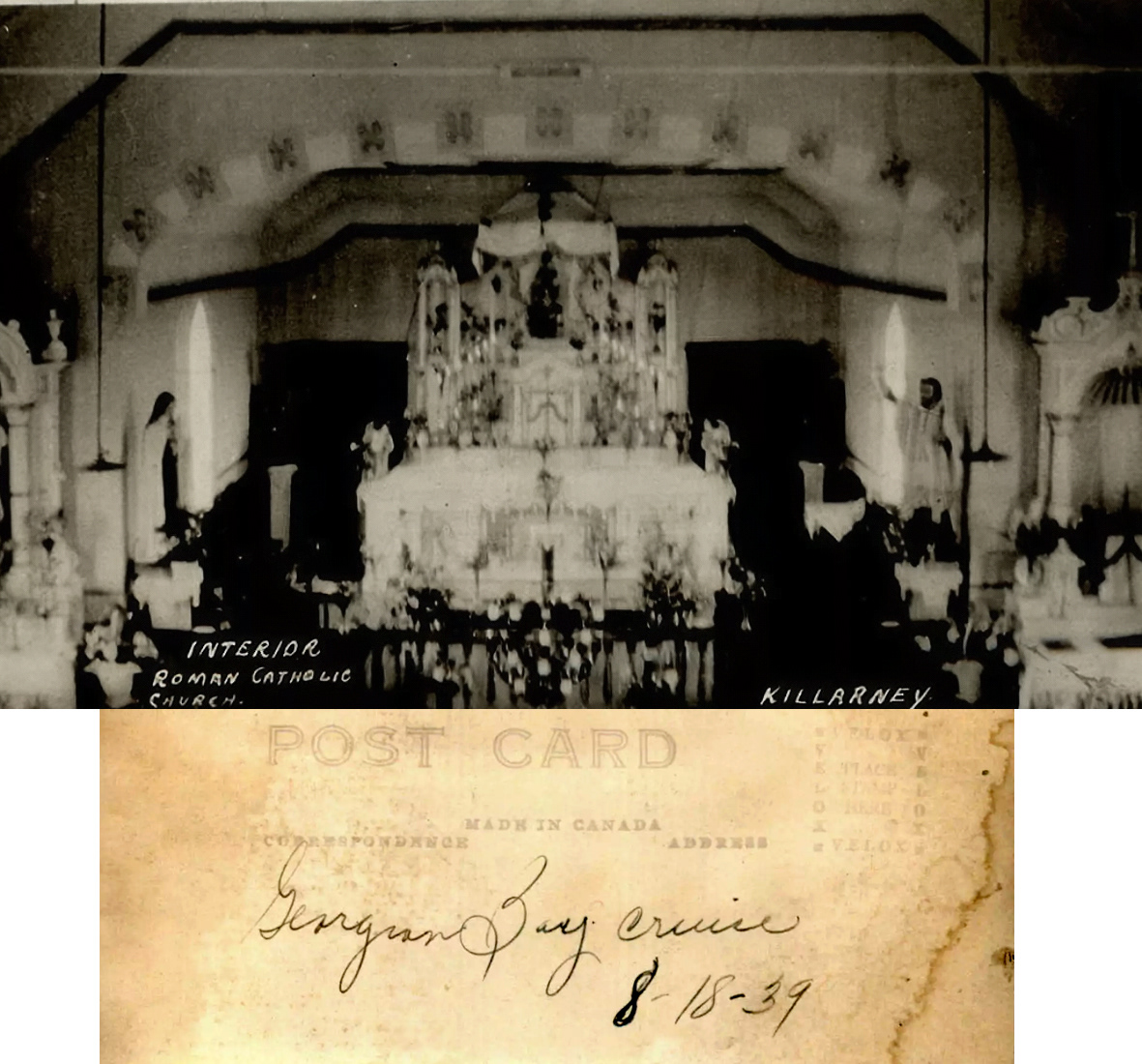
History of the Killarney Area
Courtesy of;
Debicki, R.L.
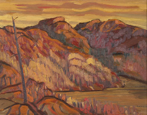
1982: Geology and Scenery, Killarney Provincial Park Area;
Ontario Geological Survey Guidebook No. 6, 152 p.
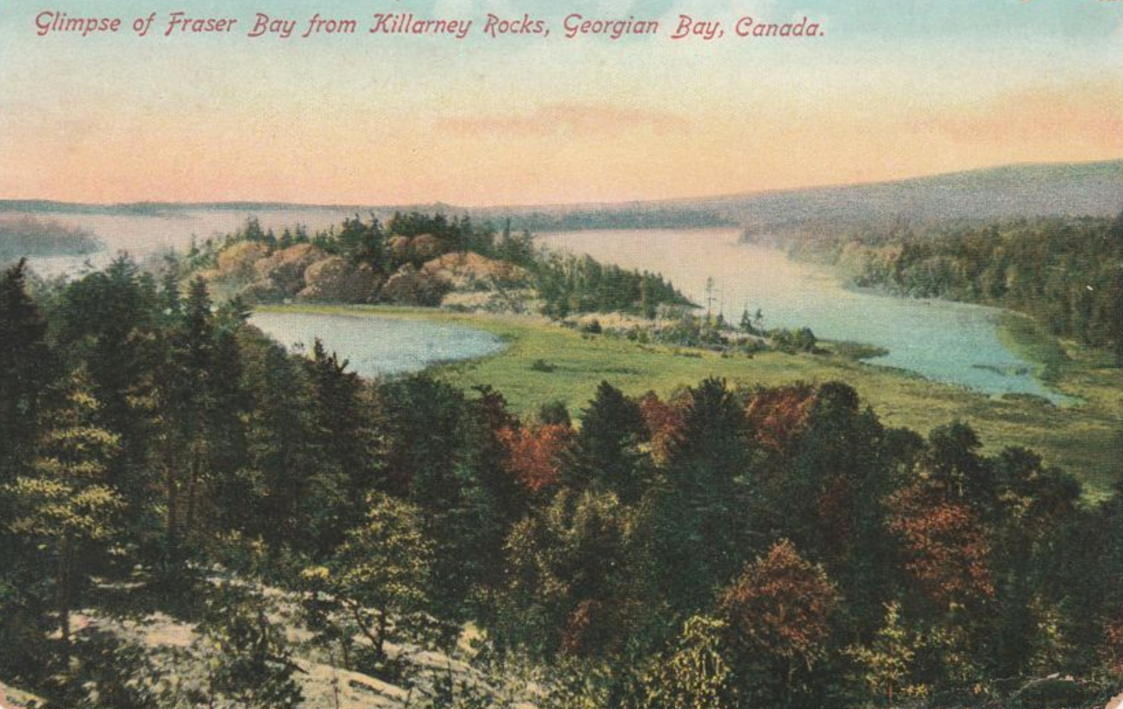
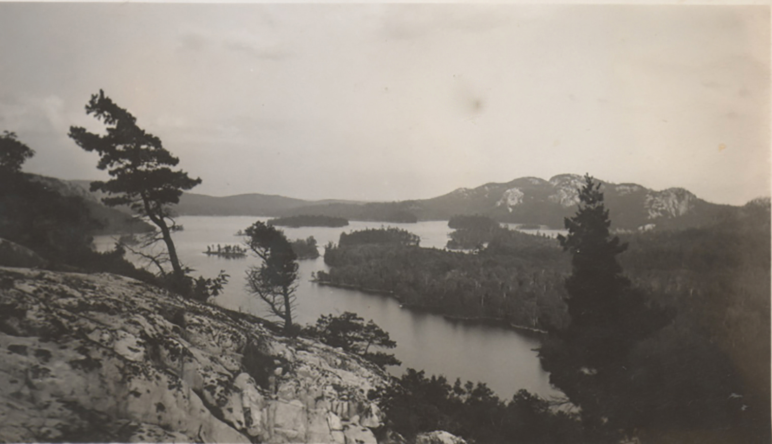
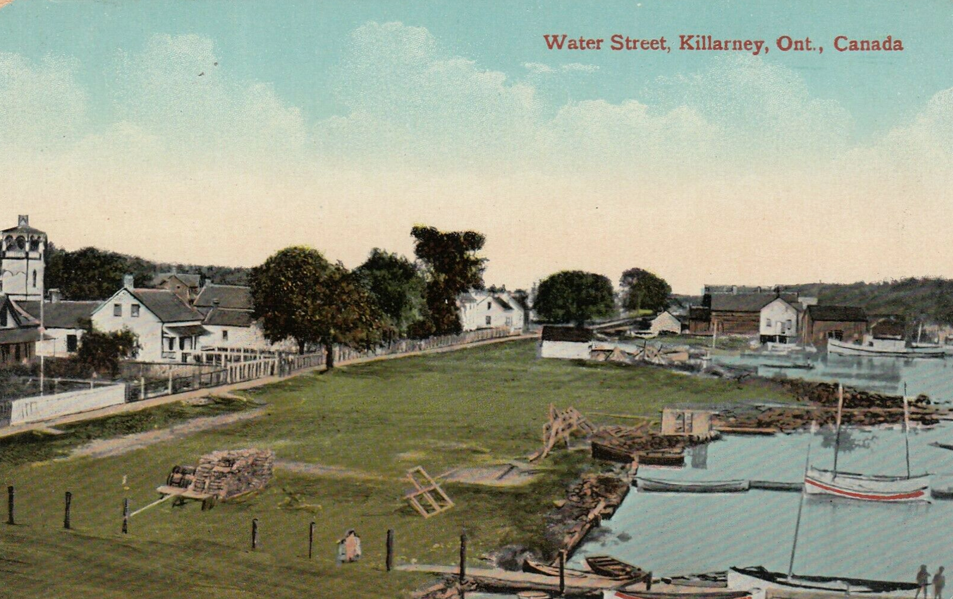
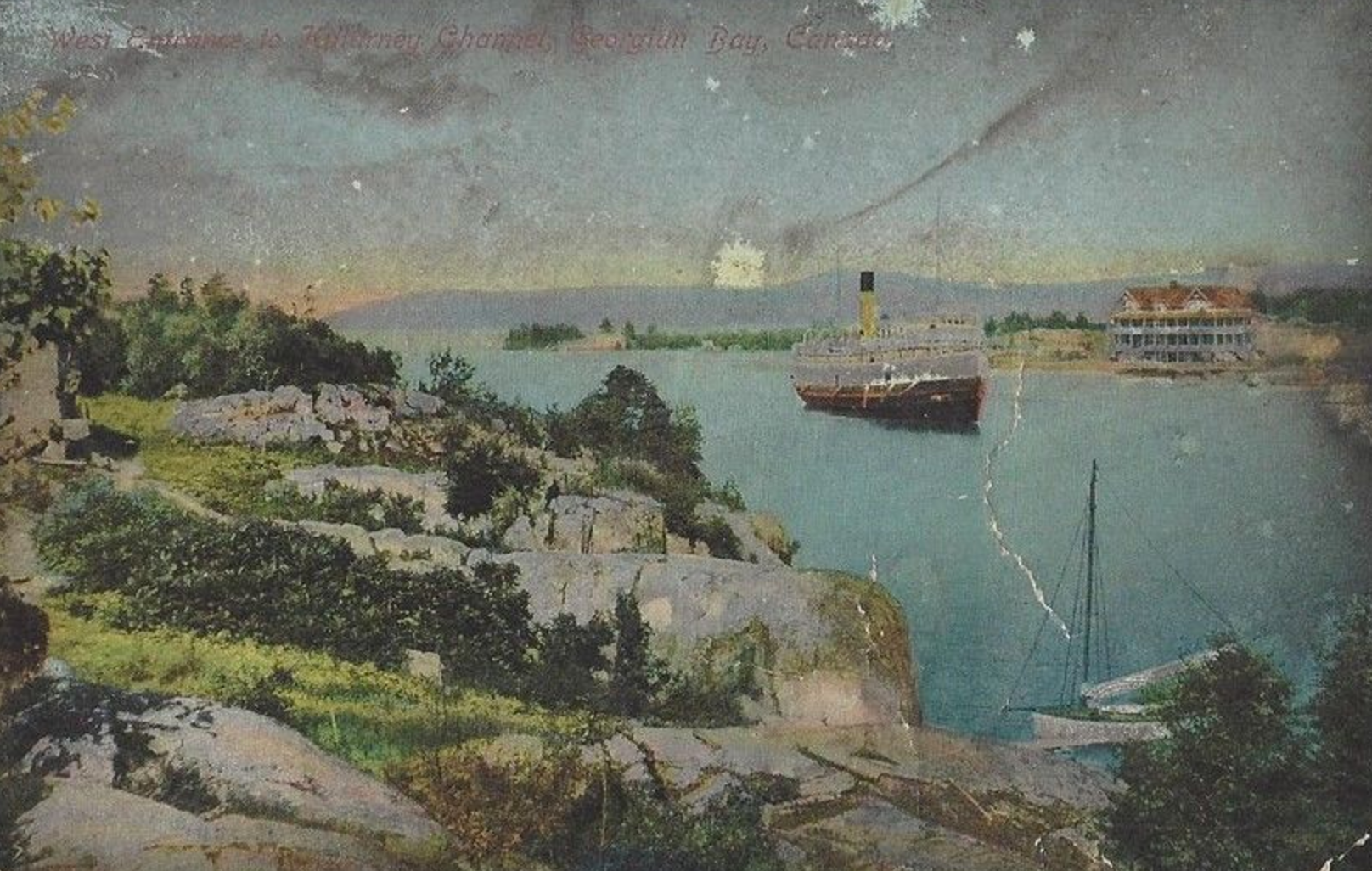
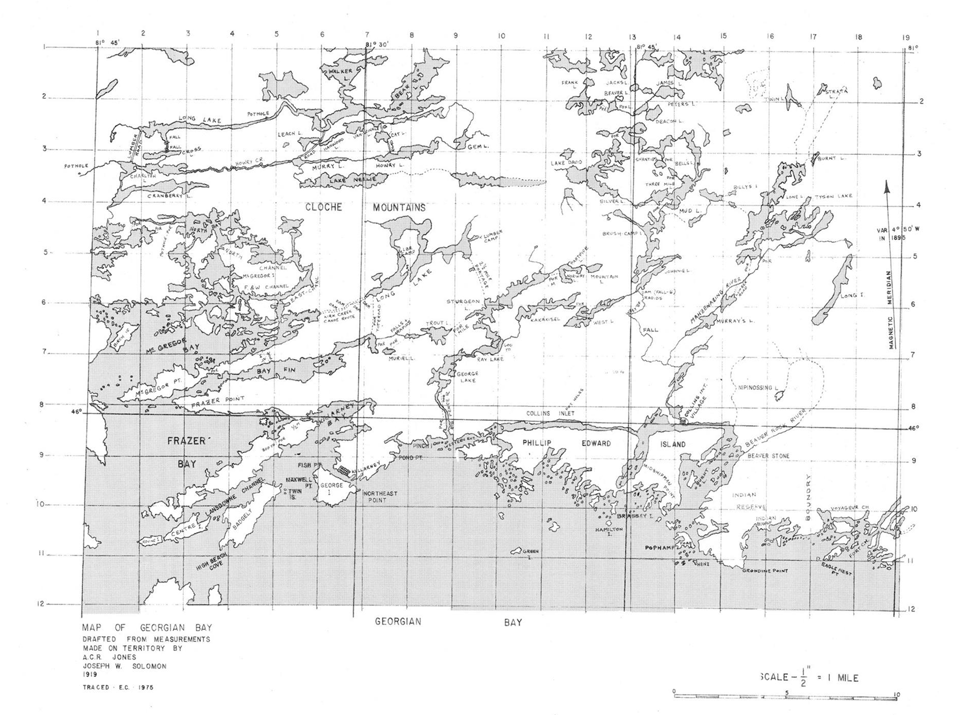
The town of Killarney is located on the north shore of Georgian Bay, approximately 75 km southwest of Sudbury. It occupies the end of a peninsula underlain by red Killarney granite that juts out into Georgian Bay. Killarney is protected from direct exposure to Georgian Bay by George Island, directly opposite the town. The narrow east-west channel between the island and the peninsula has been a major factor in the development of Killarney.
Original Settlement
Prior to permanent settlement at Killarney, the site was on the main canoe route to the west. During the fur trading, exploration, and freight canoe period of Canadian history, such men as LaSalle, Marquette, Etienne Brule, and other fur traders and explorers paddled through the narrow channel. So well did this section of the route become known that it received the Ojibway name Shebahonaning, or Shebawenahning, meaning "here is a safe canoe channel". It is said that Flat Point at the eastern entrance to the channel was frequently used as a campsite. The desirability of having a trading post at Killarney was eventually recognized by Etienne Augustin Rochbert de la Morandiere, who was the first white settler of the area when he established a post there on June 28, 1820. Until the 1860s, the post was the major establishment in the area, and a few Indians, trappers and traders took up permanent residence in the surrounding area. The acceptance of the settlement as a permanent community by the Canadian government came in 1854 when a post office was opened. Although some reports state that the name Shebahonaning was not changed to Killarney until 1882, the first postal stamp bore both names in 1854.
Lumbering
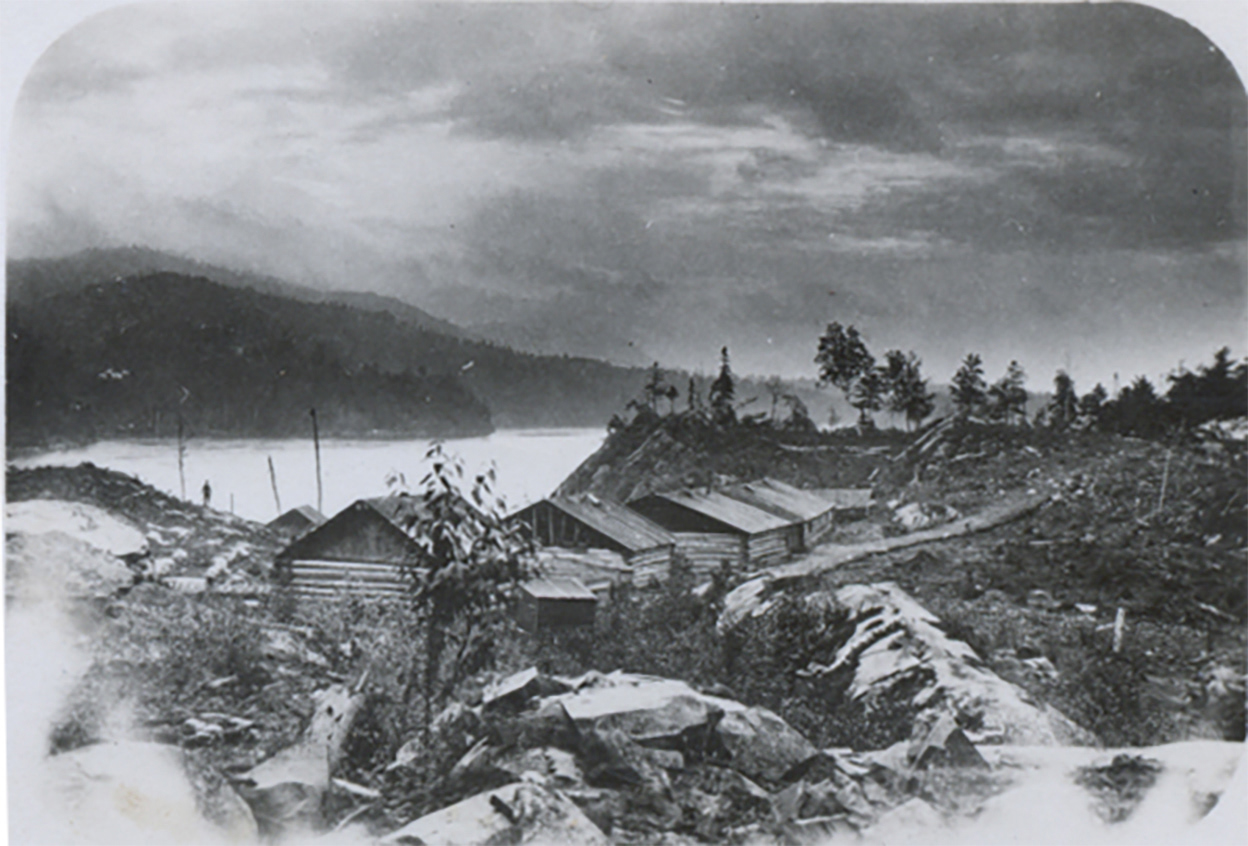
By the early 1850s, lumbermen had moved to the upper Great Lakes in search of timber to meet the demands created by the industrial revolution. In 1868 a mill was established at Collins Inlet, some 15 km east of Killarney. Although it was far removed from road or rail terminals, the site was accessible by boat during the shipping season, and was well protected from the main part of Georgian Bay.
During the lumbering era, the entire area prospered. By 1900, however, the prime timber had been cut. Minor logging operations continued in the area until the late 1940s. The trees removed from the area were red and white pine, spruce, hemlock, cedar, ash, birch, maple and oak. Remnants of the logging era include log chutes, work camps, corduroy roads, boom rings anchored in rock faces, wharf pilings, and of course, thousands of tree stumps.
Shipping
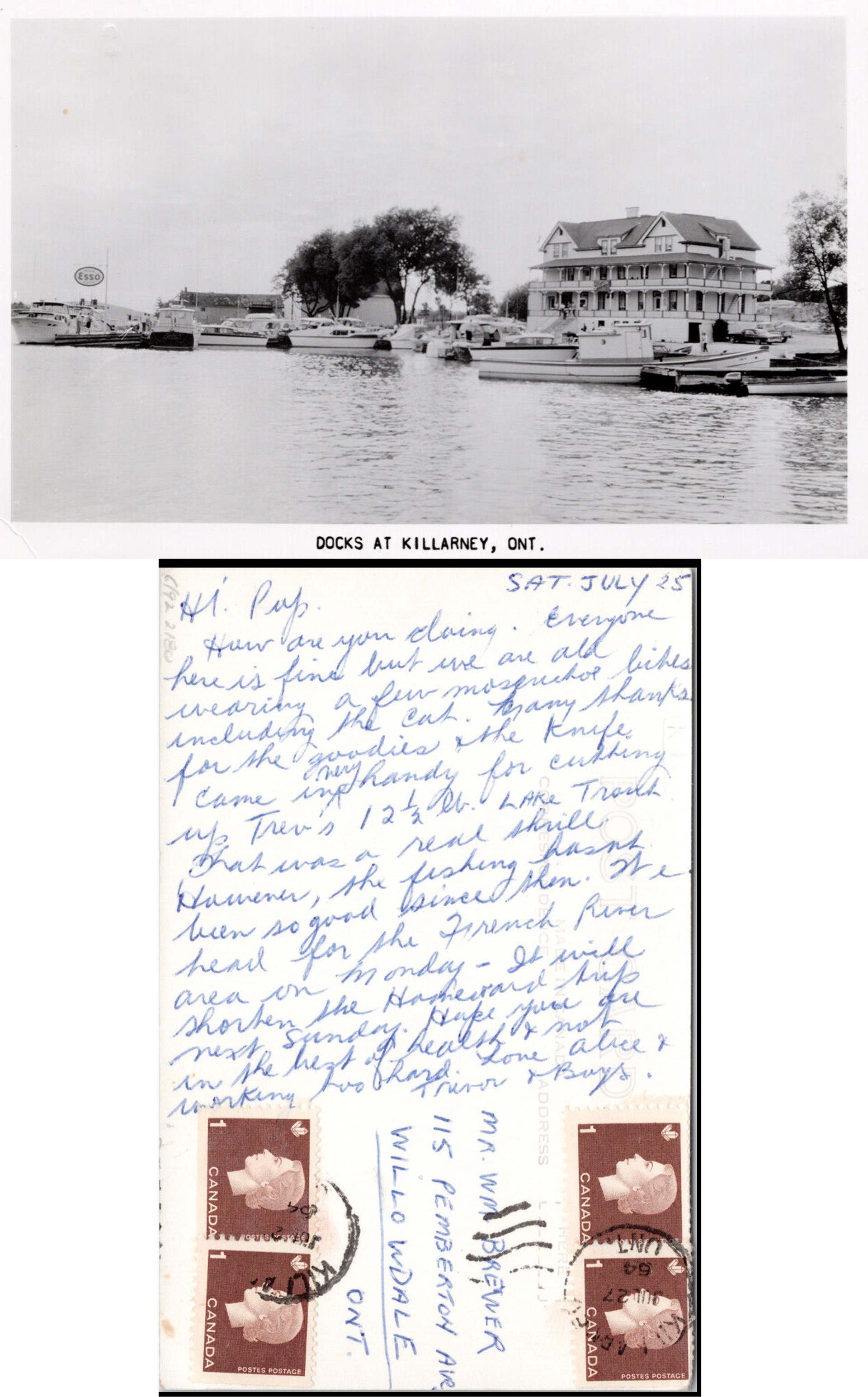
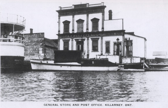
The development of Killarney as a port was a legacy of the lumber era. Many ships docked there both to pick up lumber and to deliver supplies. After 1875, a regular scheduled run between Killarney to Owen Sound was set up. The presence of the scheduled run to Killarney, and from Killarney to market, did much to encourage both the tourist and fishing industries of the area. It must be remembered that no railway has ever served Killarney, and that the road which now connects the town with highway 69 was opened only in 1961.
Fishing
During the 1880s, a commercial fishing industry developed in the Killarney area. The decline in abundance of fish, and the seasonal nature of the fishing industry have combined to seriously restrict it at present. Reminders of the importance of fishing in Killarney in bygone years can, however, be seen along the waterfront of town where fishing boats rest at dry dock beside empty ice houses and warehouses.
Mining
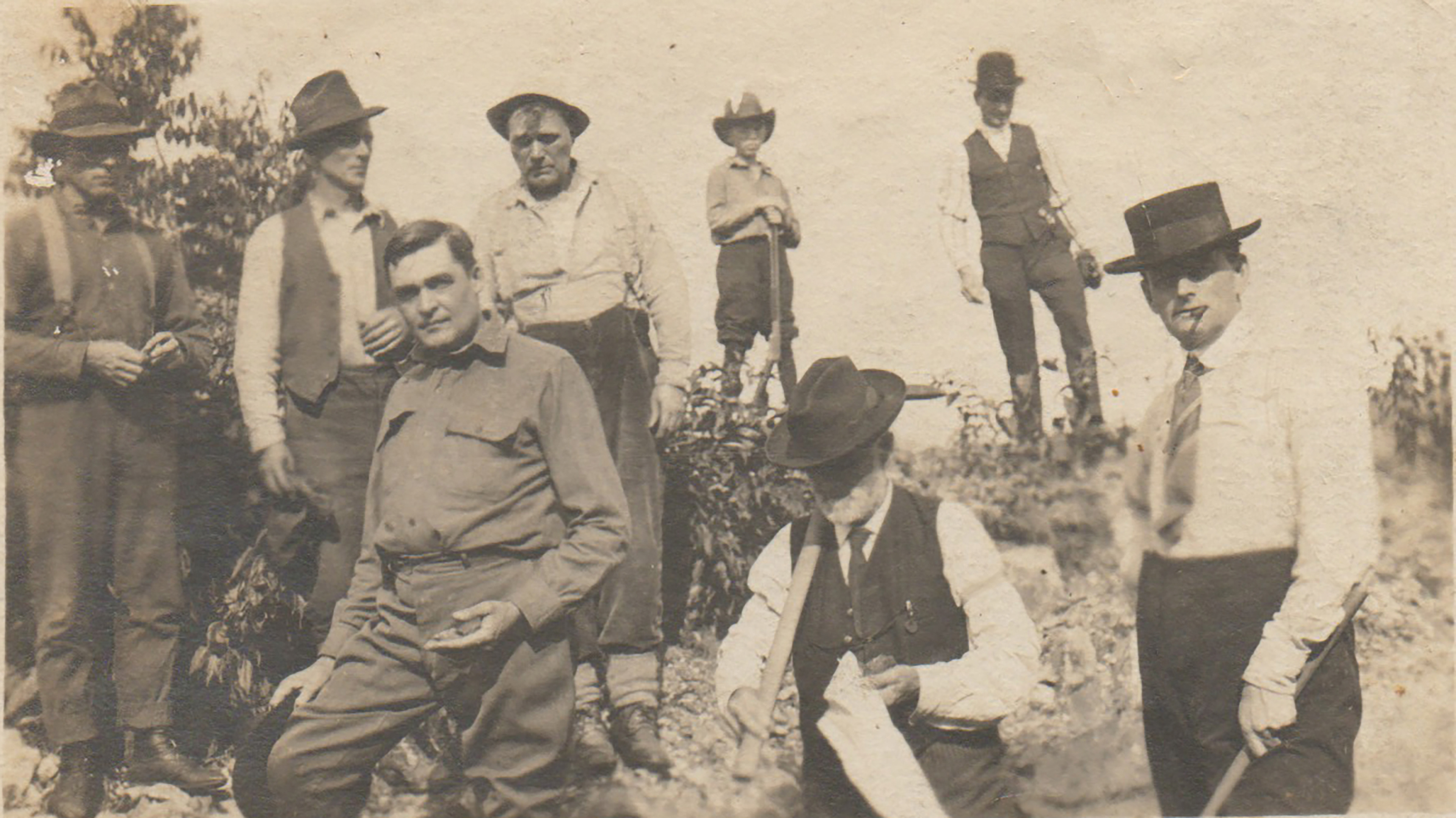
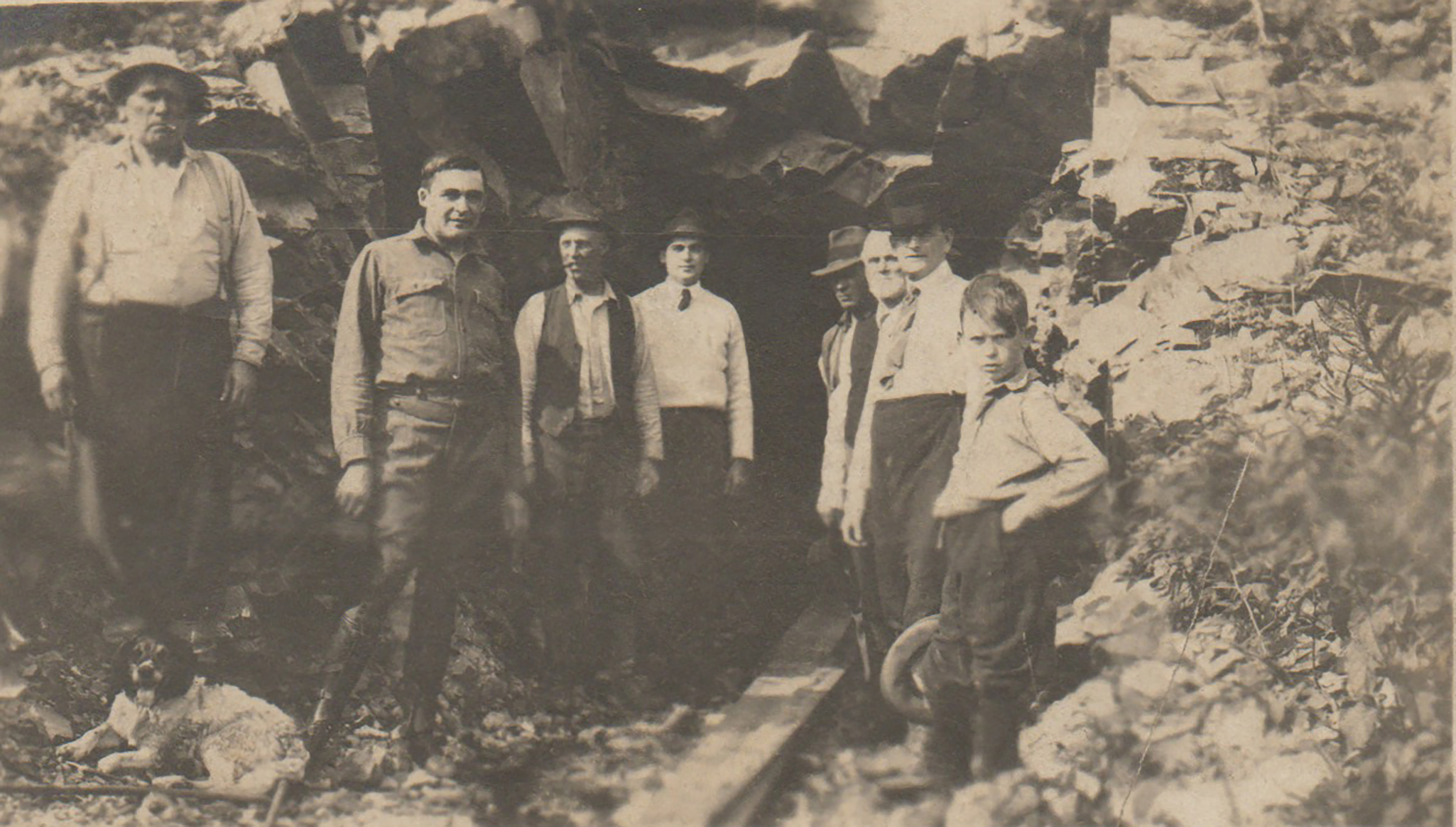
Geological investigations of the Killarney area began in 1854 when Alexander Murray began his mapping work for the Geological Survey of Canada. Prospecting activity is recorded as early as 1880 when a Captain Tranche of Goderich investigated an iron deposit on the northwest shore of George Lake. The deposit was probably part of the hematitic sandstone and siltstone member of the Bar River formation. Continuing prospecting led to the discovery in 1911 of several deposits of gold along Howry Creek north of Killarney Provincial Park. Gold was produced from one of the deposits at the Bousquet Mine during the 1930s.
Development of the greatest mineral resource of the Killarney area began in 1911 when a silica quarrying operation began approximately 6 km west of the town on Badgeley Point. It operated seasonally almost every year until 1970 when the machinery was moved to Badgeley Island and a new quarry was started. The quarries have been excavated in orthoquartzite of the Huronian succession. The old quarry extracted orthoquartzite from the Lorrain Formation, while rock quarried at the new location is from the Bar River Formation. Orthoquartzite has also been quarried from both formations in the Little Current area.
Tourism
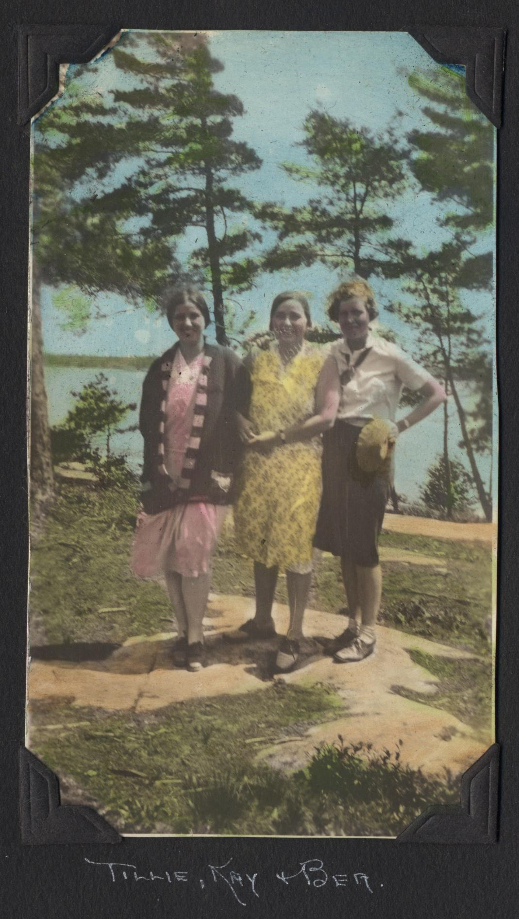
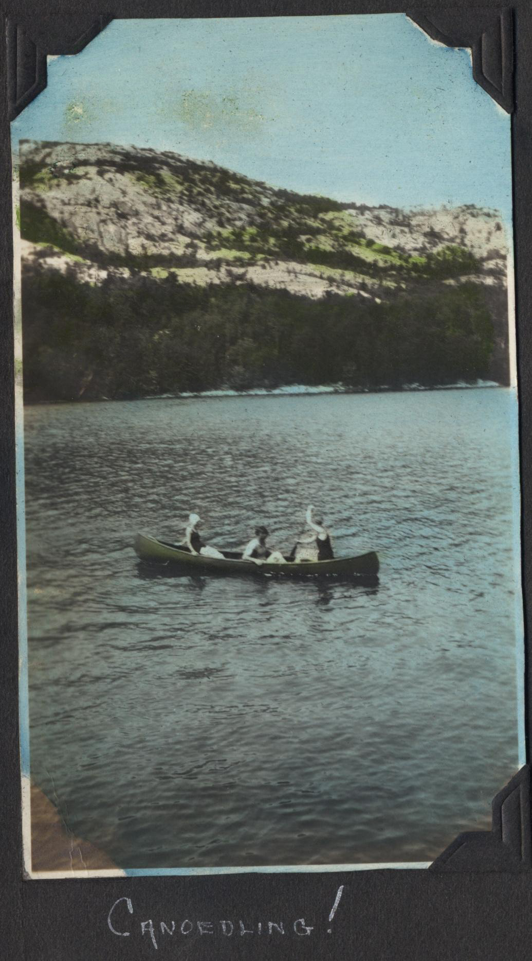
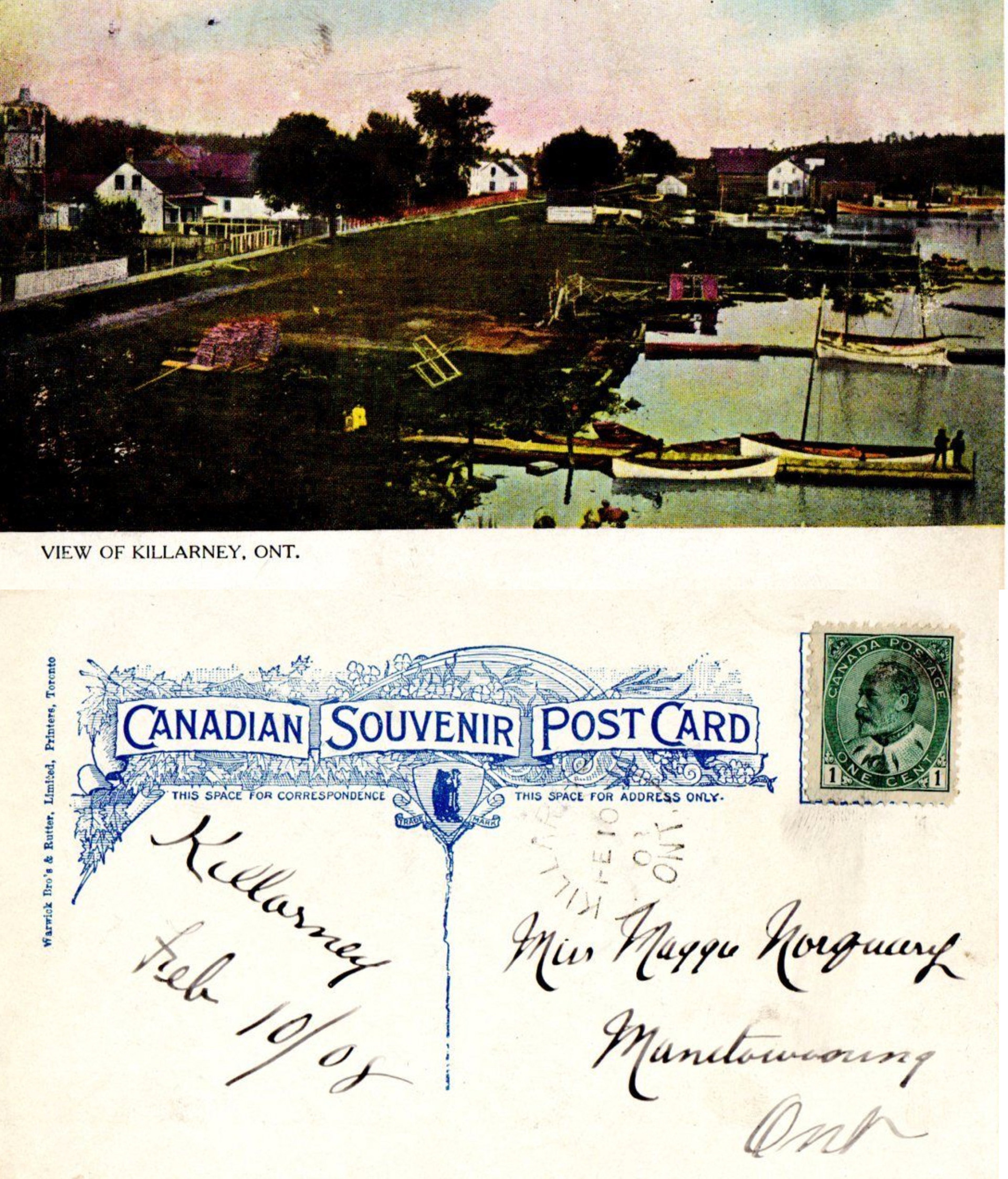
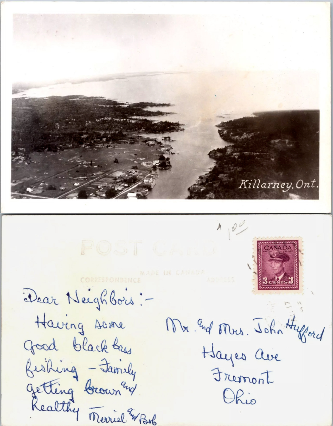
The tourism industry in the Killarney area dates back to the lumbering era. many of the ships which called in to pick up lumber carried paying passengers to help defray their costs. For many of the passengers, their recollection of stories of good fishing and hunting, and their impression of the scenery of the surrounding area were enough to bring them back to Killarney with their friends. During the 1920s yachting in the area increased. A cottage register from Baie Fine records yachting visits of the president of Zenith Radio Corporation, the inventor of the outboard motor, and the founder of Toronto radio station CFRB during the summer of 1929. The sculptor of Mount Rushmore, and William Hale Thompson, the ex-mayor of Chicago, were aboard yachts in Baie Fine in 1932. The flamboyant Mr. Thompson was no stranger to the area for he owned a cottage on Threenarrows Lake during the 1920s, while he was in office. Speculation has it that Al Capone, the gangster, used to holiday there. A further increase in yachting activity has been noted in the area since 1960. The most recent craft have been of the cabin cruiser type , however, rather than the hundred-foot-long luxury vessels owned by the earlier visitors to the area.
Highway 637, the secondary highway connecting the town of Killarney to Highway 69, was begun in 1956, and completed in 1961. With its completion, and the opening of Killarney Park in 1964, visitors travelling by car became an important part of tourism in the Killarney area.